Time & distance: 13 hrs. 22 mins, 979 kms.
States Crossed: Washington
Right from the get-go we had to deviate from the agenda. I don't know if that was a sign or not, but we pressed on regardless. The border with all the shoppers was much longer than anticipated. So instead of waiting 2 hours in line, we decided to head east and cross at Osoyoos via the good ol' Crowsnest Hwy. I figure it was a no brainer to spend 2 hours riding some good roads instead of waiting in line.
The highlight of the day came upon us halfway through Manning Park in the form of a burning sportsbike. Don't worry, it wasn't one of us. As we neared the summit, we saw some poor buggers trying to doust out a flame on his RC51. Some of his other riding buddies came to the rescue and a passer-by driver even lended them his fire extinguisher, but it was no use. The flame continued to eat away at the bike and before you know it, the bike collapsed to it's side.
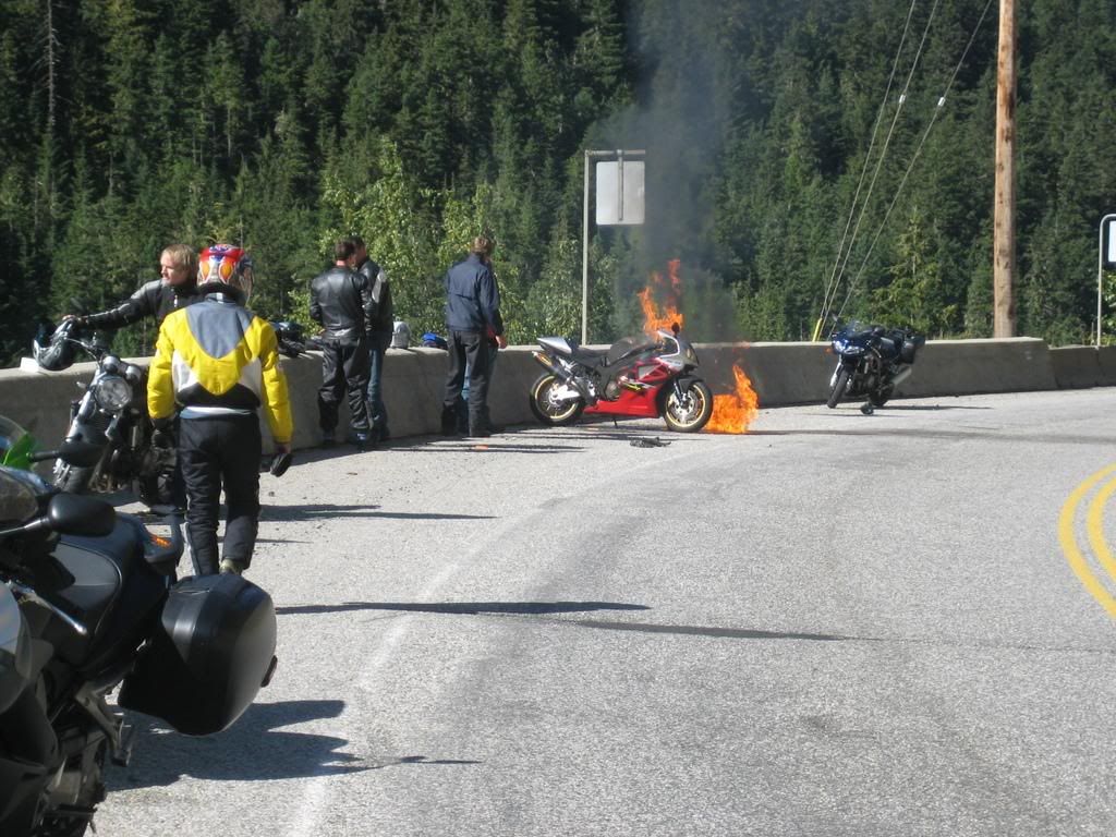
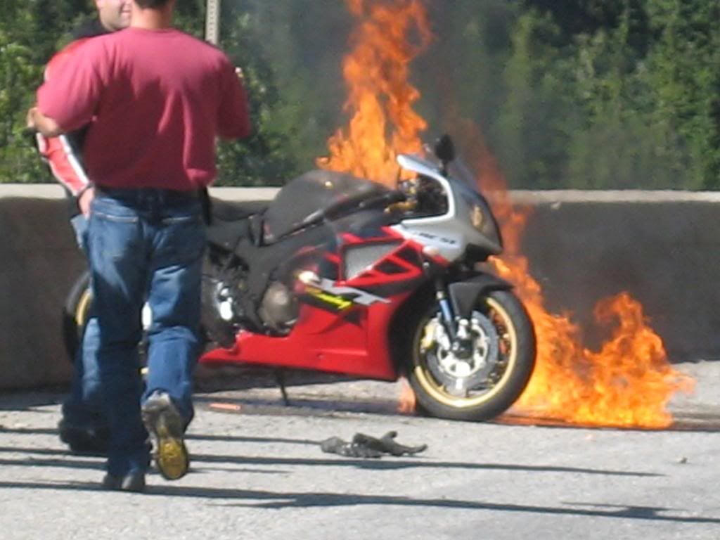 All I heard was f**k, f**k, f**k, and oh yeah F**K!! I assumed that the rider was a bit dismayed and asked others what happened. Apparently, the rider couldn't make the turn, kissed the concrete barrier which must have gouged the gas tank and leaked the fuel, which then got ignited. We took some photos and videos of this peculiar event, made sure the rider was ok and went on our way.
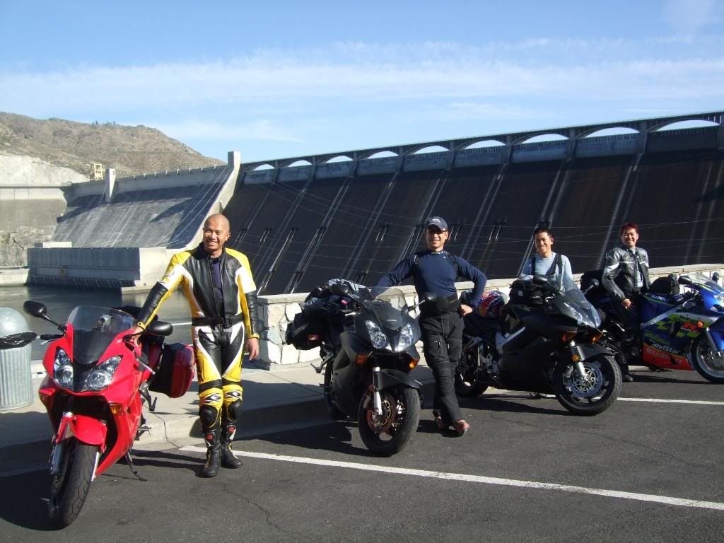
We unknowingly passed by Grand Coulee Dam en route, so decided to take our first photo break. Apparently, it's the largest electric power producing facility and the largest concrete structure in the United States.
 We managed to stay on schedule and checked in at Lewiston, Montana for the night. The unplanned detour through Manning Park made for a much longer day than expected. I wonder if there will be anymore of these days to come?
Day 2 - Lewiston, ID to Bozeman, MT
Time & distance: 10 hrs. 30 mins, 722 kms.
States crossed: Idaho & Montana
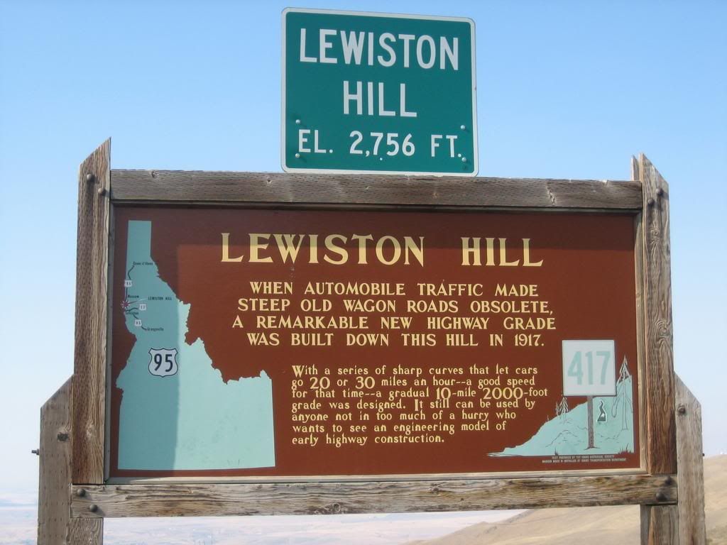
Lewiston is famed to be the first state capitol of Idaho and is Idaho's only seaport. However to us riders, it is known to be home of the Old Spiral Highway. This was the old road to get down to Lewiston from the north, before highway 95 was paved. Old it may be, but what a fun road it is! It snakes through the many hills that eventually descend to Lewiston, full of twists and turns.
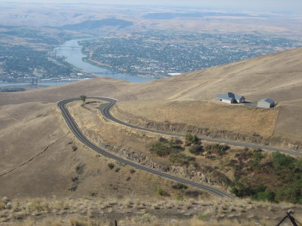 One thing I noticed about american roads is that it's very well engineered and maintained. This old road has clean asphalt in excellent condition. All the turns are perfectly banked with tight twisties going every which way. The lookout on top is amazing, giving you a panoramic view just how "snakey" the road is. It almost seems like the engineer designed it for road enthusiast and getting to the top allowed you to look down on it like a prize that was just won.
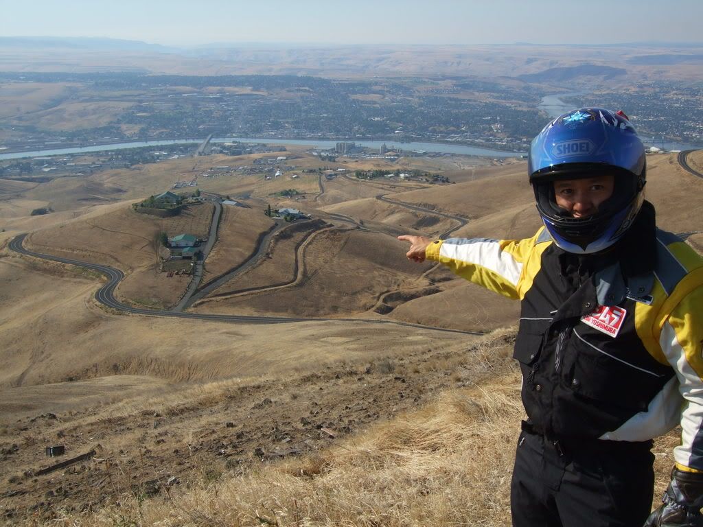 Highway 12 (a.k.a. Lewis & Clark Trail) out of Lewiston follows the Clearwater river through a few National Parks and leads us to the day's anticipated ride, Lolo Pass. Highway 12 starts off meandering along with the river making for a very scenic, calming ride.
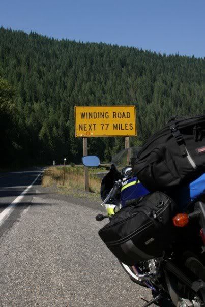
 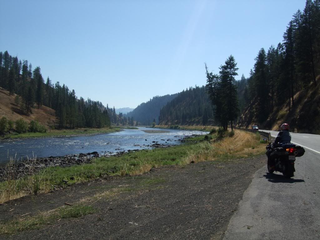 As we near Lolo National Forest and saw a sign that said "Winding road next 77 miles", we knew the real fun was just getting started. There were no cars, great asphalt and nothing but 45 mi. sweepers through forested roads. It was an amazing ride and I was tired halfway through from all the lefts and rights.
 After we had our share of fun in the morning, we had to hit the Interstate to make up some time. After some long hours of monotonous highway riding in the the 90 degrees afternoon heat, we relieved to check in at Bozeman, Montana for the night.
Time & distance: 10 hrs. 41 mins, 593 kms.
States crossed: Wyoming
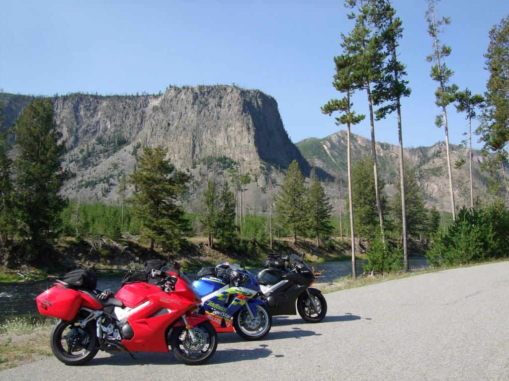 Yellowstone National Park was on our list of sights to see. We decided to enter from the west gate and do a half loop through Old Faithful. The traffic was expectedly slow and filled with tourists. Once we adopted the pace, we were able to appreciate the majestic scenery. It's amazing how wild this park is. There were heards of buffallos grazing in hectares of untamed fields everywhere. We stopped by the small Geysers and mud pots, but missed seeing Old Faithful go off by just a few minutes. The park is huge (10,000 sq. miles in fact), it just seems to go on forever. More than half of our day was spent at the park, yet we only did half of the small loop and there was no sign of Yogi Bear anywhere.
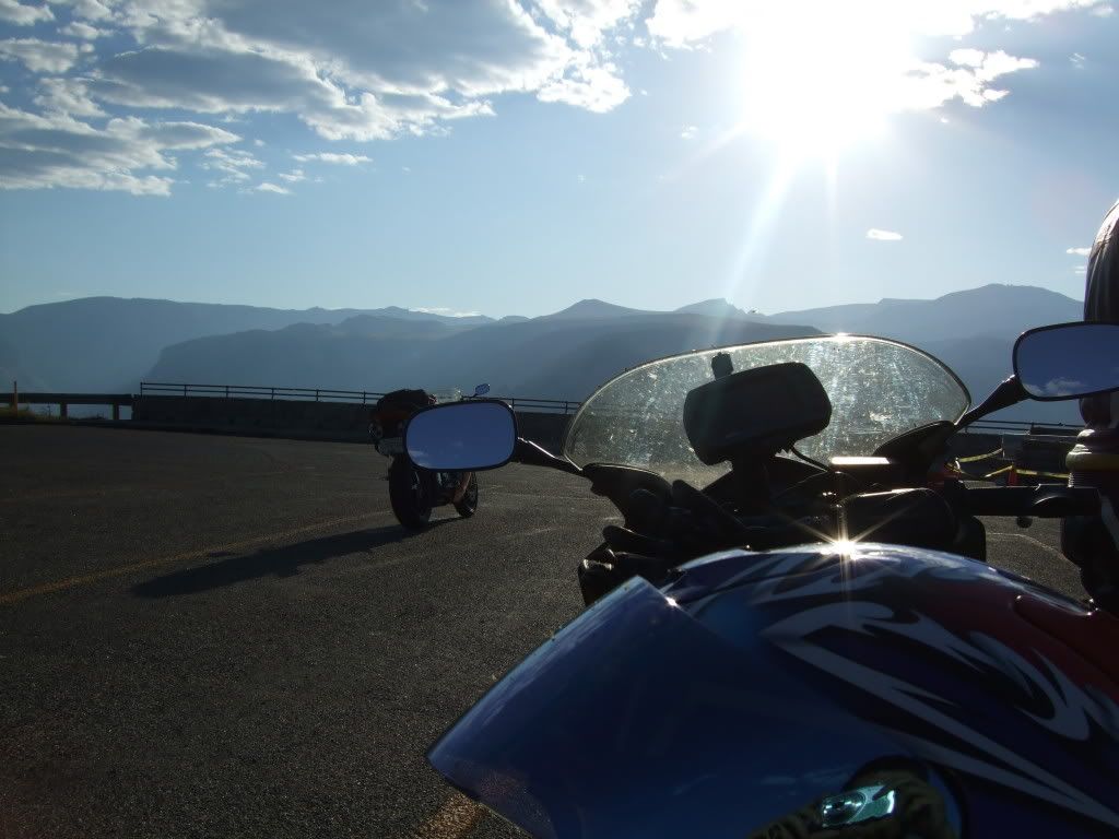
 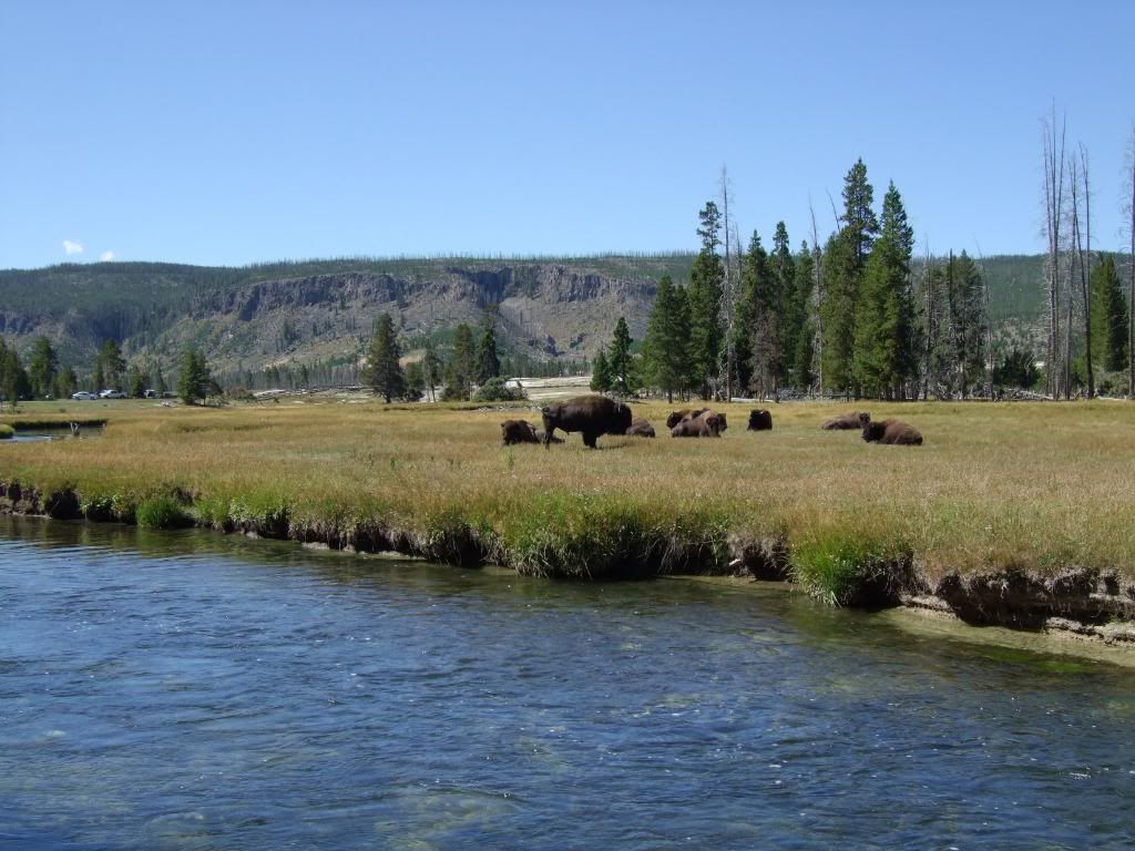 We exited Yellowstone from the northeast gate to hook up to Highway 212 with Beartooth Pass as destination. The slow traffic and repetitive clutching & braking through the park really tired Chuck and Michael out. They decided it was best to stay behind and recuperate as the rest of us challenged Bear Tooth Pass.
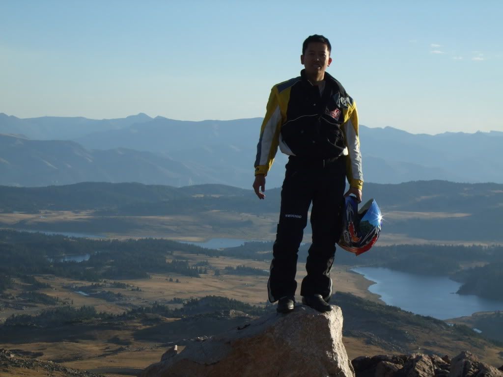
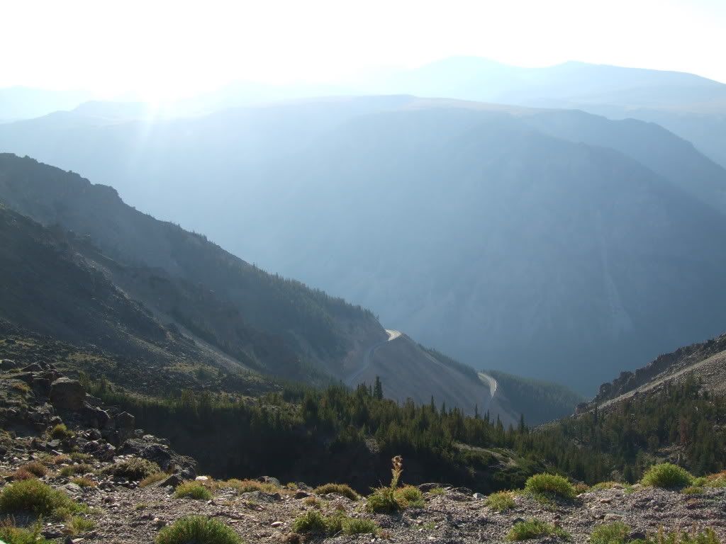
After a very satisfying ride on Beartooth, we descended to pick up Michael and Chuck, whom had a very satisfying rest themselves. We then headed over to Cody for the night via hwy 296 (Chief Joseph hwy).
1 comment:
You write very well.
Post a Comment